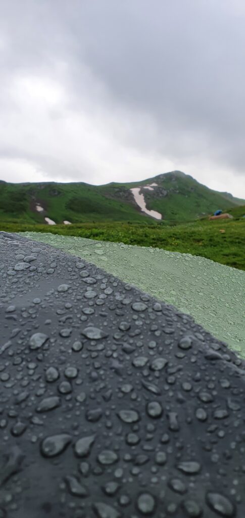
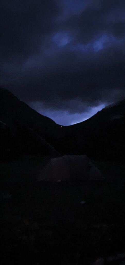
The night rain was heavy enough, but it was nice to fall asleep under it.
In the morning there was an extremely beautiful view.
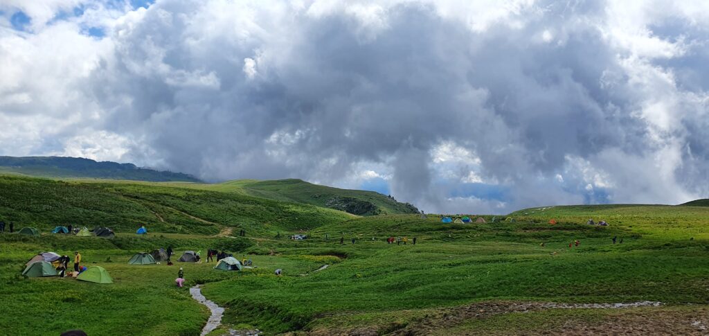
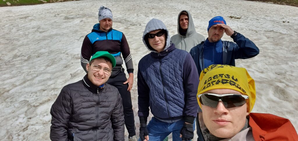
The height here is 1977 meters, so the snow can already lie quietly, which we used for the photo 🙂
For breakfast, they opened the sprats with bread and made tea.
A beginner's mistake. Do not take small snacks in the form of chocolates, cookies or protein bars.
We packed up our backpacks, dried our tents and decided to move out. And it was at this point that the cloud began to approach us, completely blocking visibility.
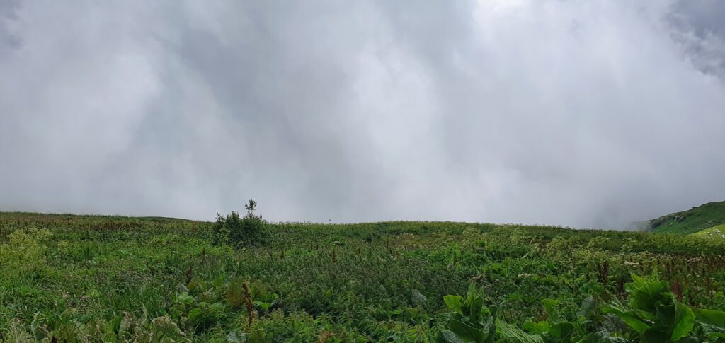
And on the other side the view was magnificent.
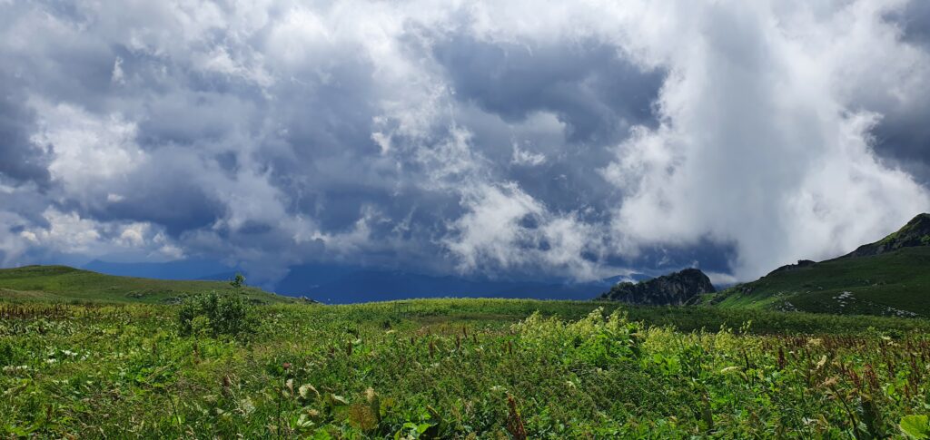
Then Victoria Peak opened up in front of us. It can be bypassed either on the left or right. On the left was one group, on the right – 4. The band suggested going to the right, although the track showed the correct path on the left. I had to agree.
One day of travel helped to understand how to set up a backpack, better distribute the weight and use trekking poles. The road started about as we expected – wet grass, mud, streams with cold water.
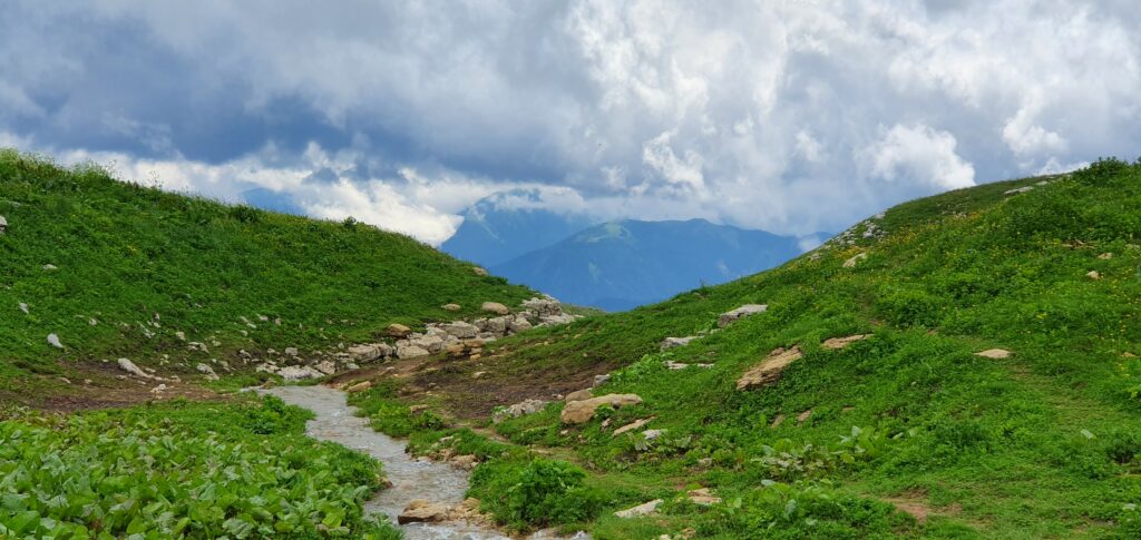
Stepping out onto a small hill, a beautiful view opened up again from behind.
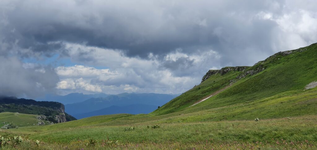
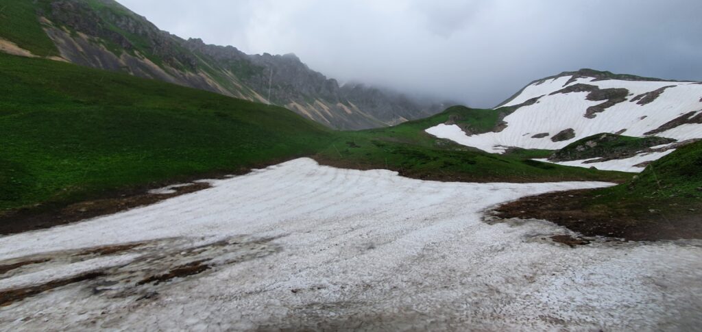
Our road lay forward and slightly to the left. We had to go down to the foot of Oshten and go around it. In the photo – along the snow and a little to the left
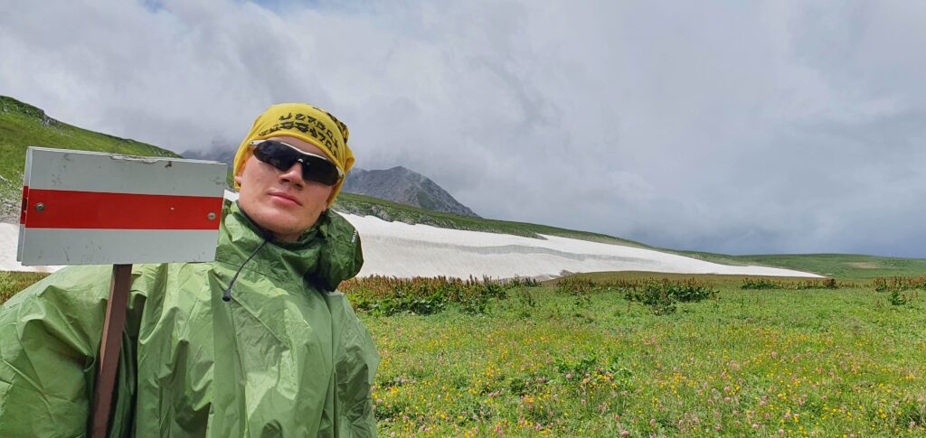
The relief was typical for Adygea – a descent down and immediately an ascent up.
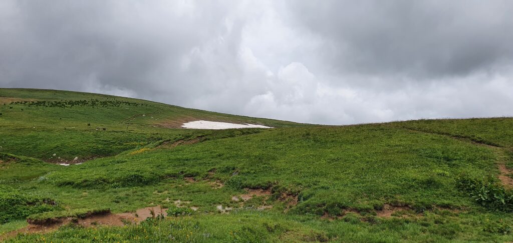
After walking a little further, we stopped for a small smoke break.
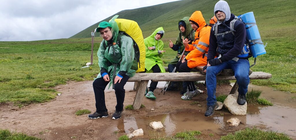
Staying there was the most correct decision. On this day, a storm began to rage in Sochi, overturning cars. He overtook us at an altitude of 2200 meters. And a small smoke break allowed us to gain the necessary strength, although we did not know about it yet.
The road led us through the snow, which part of the group was incredibly happy about – the tread on the shoes was almost absent and there were no trekking sticks.
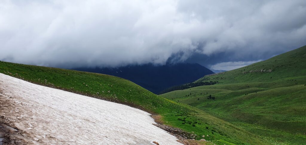
After passing it, and going to a small peak, an incredibly beautiful view opened.
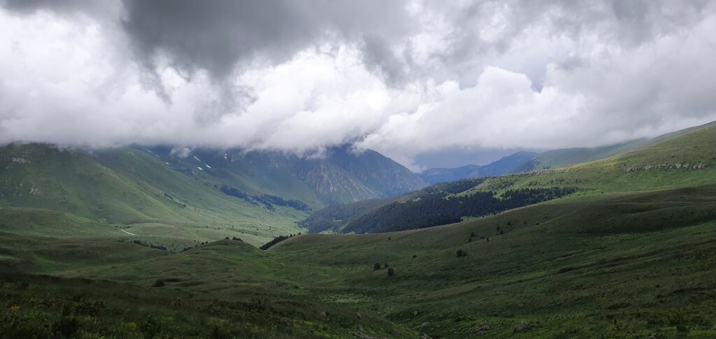
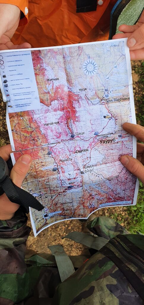
The navigator (OsmAnd) showed the route only through the return to the Instructor's Gap, there was no satellite map, the track of my friends passed elsewhere, there was no road on the paper map, there was no satellite map, but it would not help.
And then we notice how two tourists are coming to us – a guy and a girl. We did not see any other tourists almost from the beginning of the route, so we were even a little happy. There was a remarkable dialogue:
– Where are you going?
-And you?
– And we were the first to ask
– We are on Fishtenka
– And we are on Fishtenka
– Do you know the way?
-No
– And We Don't Know
We found out that they are from St. Petersburg, and they go on a paper (!) map.
Together we rested a little, and went on.
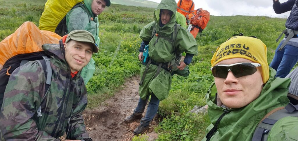
The road was waiting for us hard – to walk almost along the edge of the cliff, through the mud and bypassing the water from the streams. After a couple of hours, the road changed to a rocky one and it became much easier to go. We also approached the Fisht-Oshtenovsky Pass, which means that the road went further exclusively to the descent.
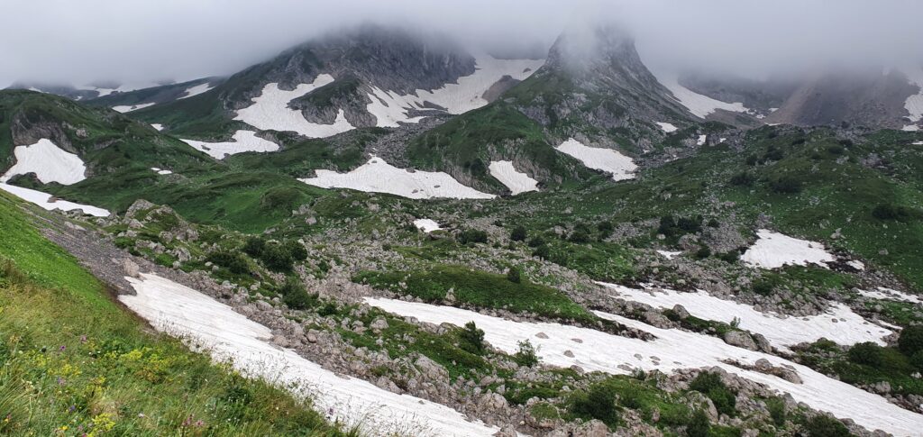
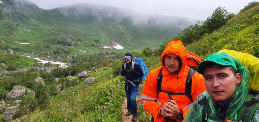
Endless cold rain, and fine hail began to exhaust, although the raincoat held extremely confidently and did not let in excess moisture.
We went to the monument to the defenders of the Caucasus
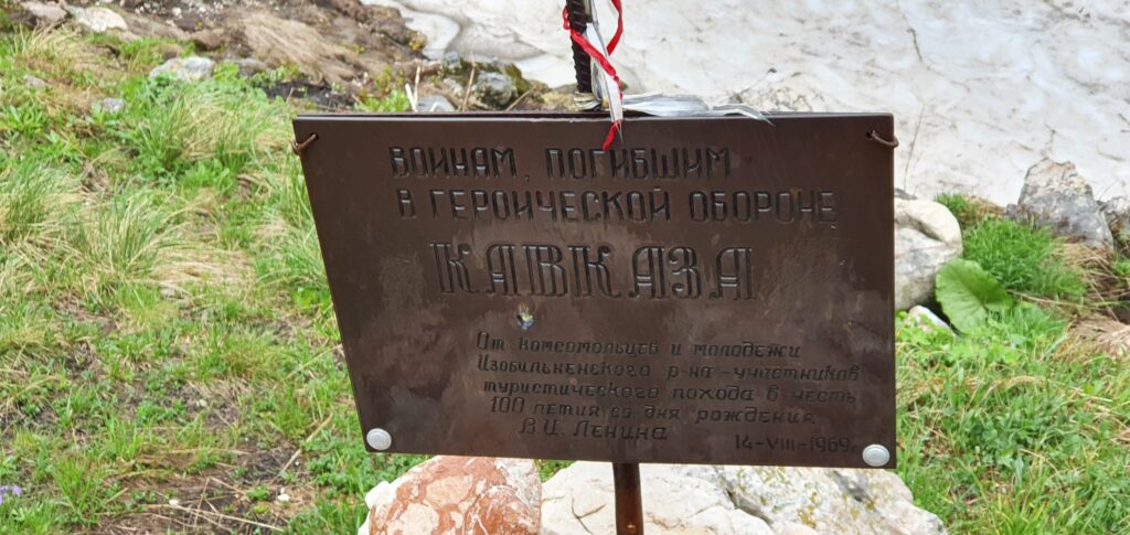
Interestingly, usually all groups go around Oshten on the left, in order to then climb to this and other monuments without extra weight. We, without knowing it, combined everything together 🙂
A rather sharp and protracted climb on the stones began. After going through it, we suddenly realized that winter boots would be very useful.
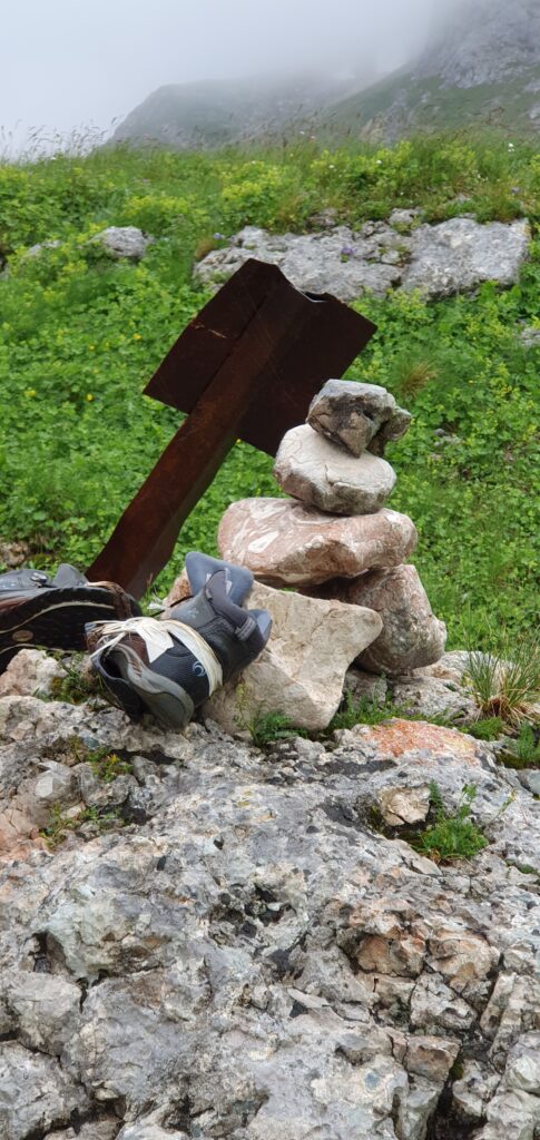
Next to the rickety mark was a tour. And next to it is a pair of Outventure shoes that were saved as best they could. We are against garbage in the reserve (and in other places too), but we could not grab the boots, there was less and less strength left, and the camps were not visible on the horizon.
The entire further road to the descent was exclusively snow, strong squally wind and rain.
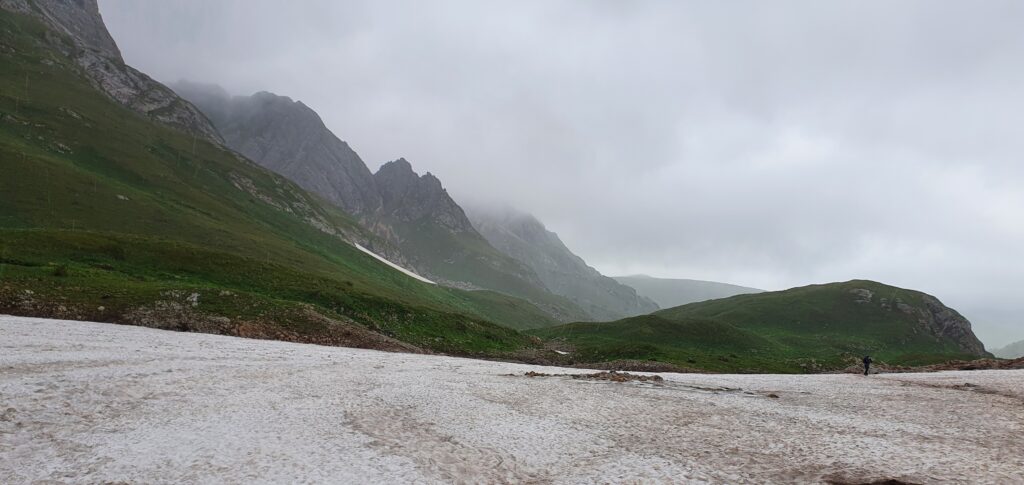
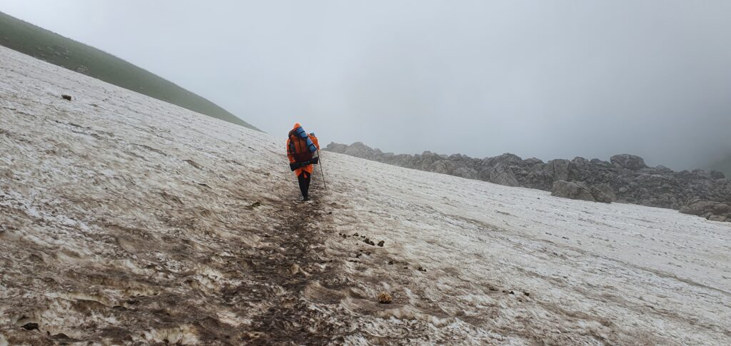
And now the road begins to go downhill, the snow becomes less and less, and it becomes clear where the camp is approximately located. "Going down is much easier than going up," we thought. "We'll see," nature thought, and we appreciated her humor.
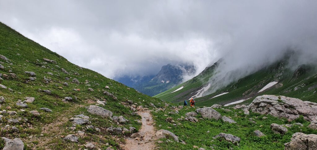
I've never seen a more beautiful view in my life. I wanted to take pictures over and over again, but I had to go. After walking another 3 kilometers, we met a cheerful group of tourists who were walking down on the lung. They said that there was absolutely nothing left before the camp, another 4 kilometers. But the camp was not visible. And so, passing a small hill we saw small red roofs. It was Fisht's shelter.
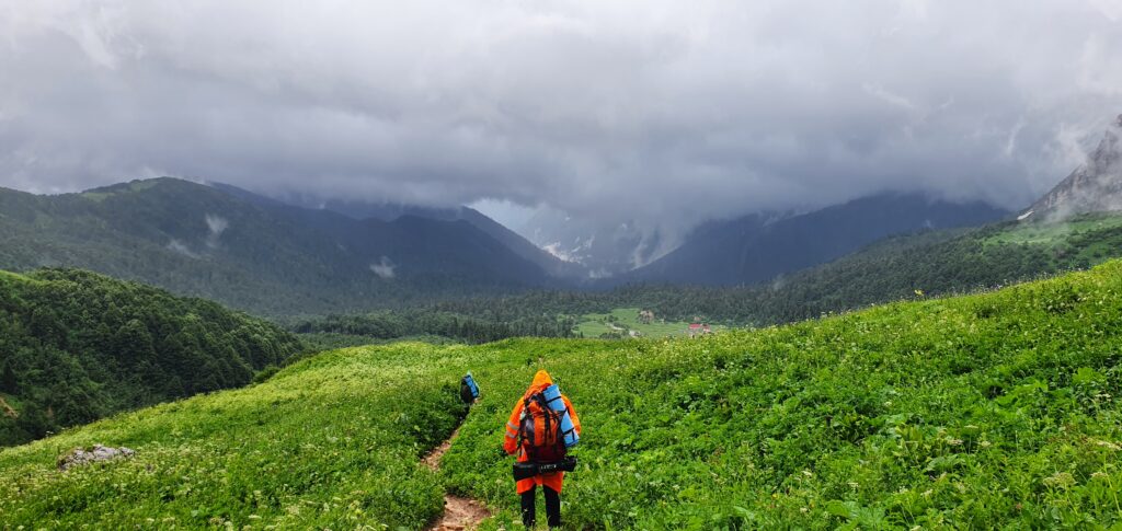
We did not know more happiness on this day, after so much time and effort, we were convinced that we were going the right way. It seemed that even the strength increased a little.
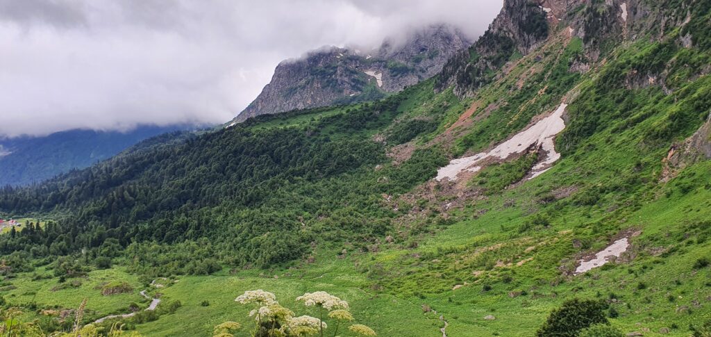
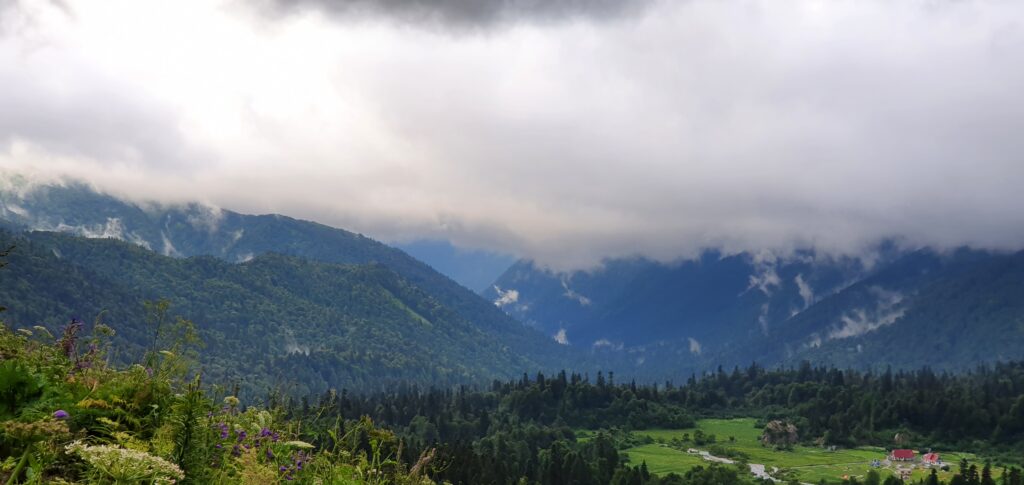
After a couple of kilometers, the road began to go down sharply, and the sound of the river separating me from the camp became louder and louder. And finally I went down to her.
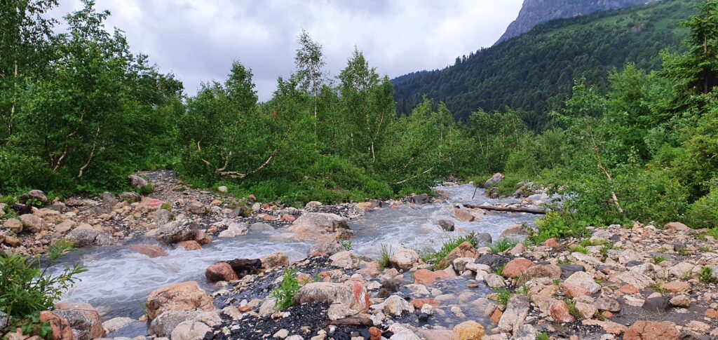
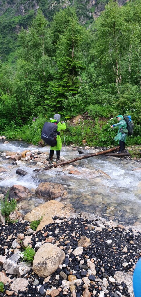
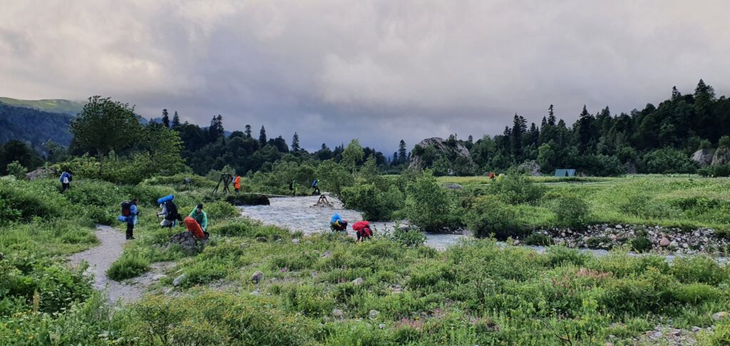
Downstairs, our avant-garde from Ruslan and Roma was already waiting for me. We decided to rest, gather all the strength that we have for the last jerk, as well as find a crossing over the river. Ruslan forded it 2 times and made sure that the task was doable. I went to look for a workaround. Actually in the photo, you can see the log. But how do you cross it? The answer was suggested by another group of tourists – sticks are placed at the edges of the log, and you go leaning on them. But since there were only 2 pairs of sticks, we handed them over as we passed.
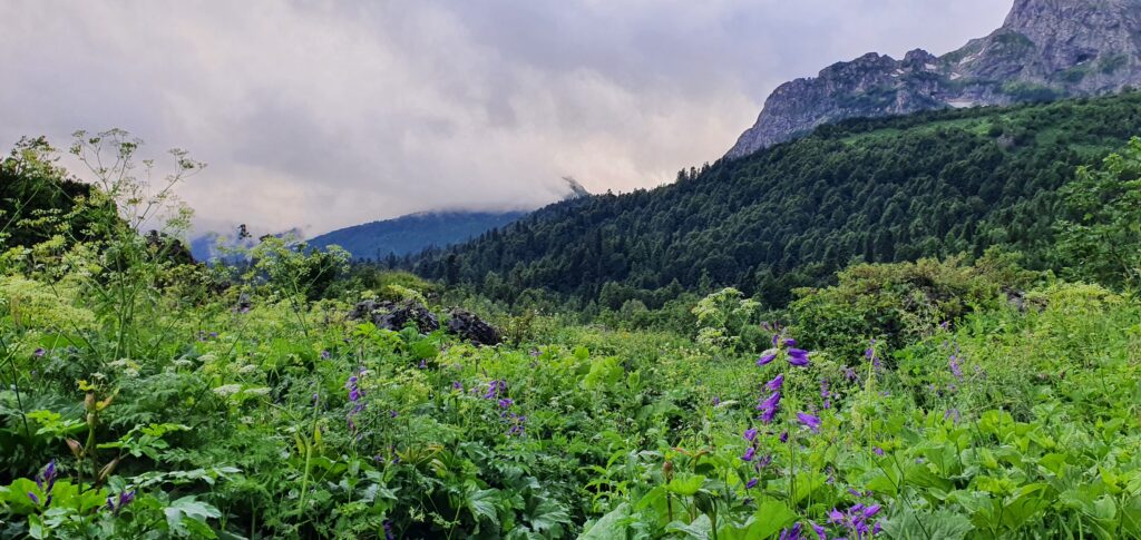
It's just a matter of walking through the thickets into my height, not drowning in mud deep into my height, and going out to the shelter.
After walking another 15-20 minutes, we finally came to it – the famous Fisht shelter.
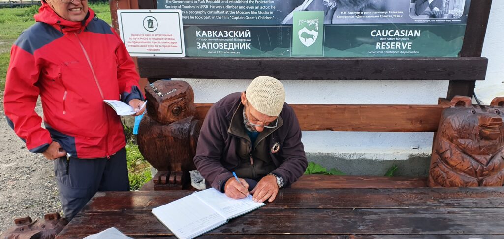
They found a forester and went to register his group. This is the first time I've heard the phrase I've been waiting for so long – who is your group leader? The whole group looked at me and I nodded confidently. Having signed up in the journal, the guys decided to find out if there was another transport here. Of course there is, the forester replied. Horses for transporting things and helicopters. We realized that we would have to walk 22 km on willpower. We went looking for a place for tents. The plan is simple, lose weight, eat, dry things. And preferably before dark, because at night it becomes terribly cold.
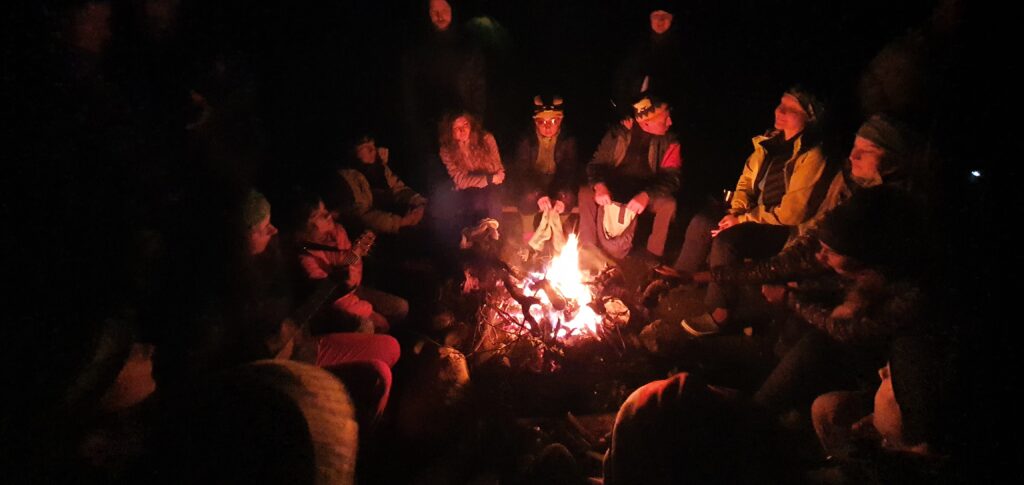
Set up our camp, ate, and went to dry things for the fire. We got acquainted with other tourists, told about our route. Many were surprised that we went around Oshten on the right, because the road there is much more difficult. Also for the first hike. But we are not looking for easy ways. Here, someone noticed a faint light from where we came from.
Someone was walking our way at night. It could have been us on the first day, but we made the right decision.
Mental gatherings by the fire seemed to add strength. Well, things dried of course 🙂
The day was coming to an end. In the morning we planned to wake up as early as possible, quickly pack up and move, because we had 22 km to walk, which in itself is not a little, and even to pass the famous "Merry Descents", about which we had heard.
